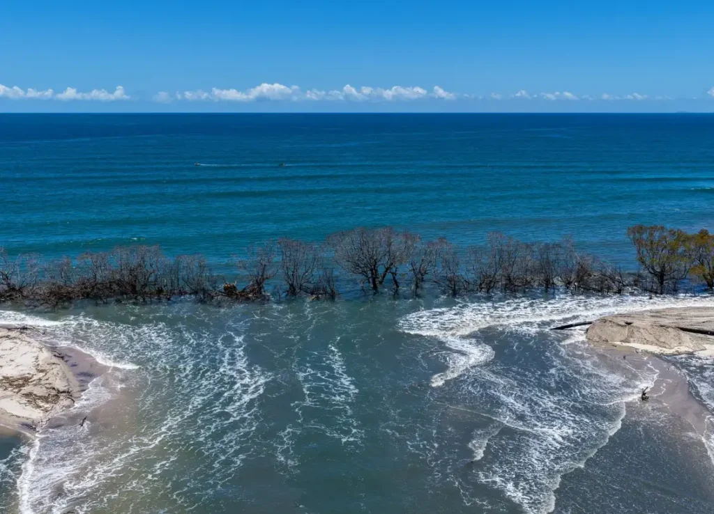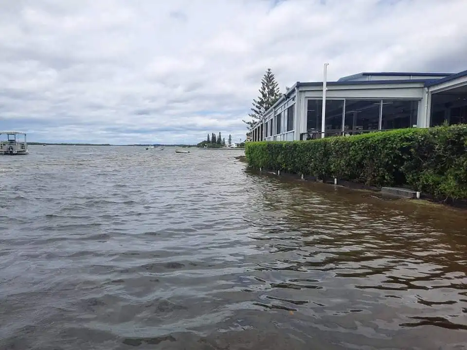
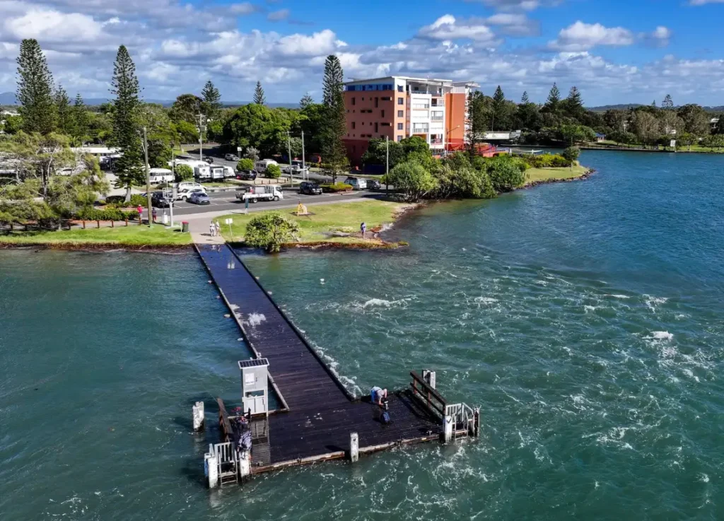
For over six decades, locals have watched the shifting sands of the ‘Bar’ at Happy Valley and the steady erosion of Golden Beach, knowing the delicate balance of the Pumicestone Passage was changing.
For years, their warnings seemed to fall on deaf ears, with little tangible action from local or state governments. Then in 2025, the long-predicted moment arrived. A tropical low, the remnants of Cyclone Alfred, encroached our foreshores, and the changes that had been forecast for generations finally materialised.
It was a moment of reckoning. But for local historian John Groves, it was also the beginning of a detective story. John, who has spent 25 years collecting historical photos of our region, began to suspect that the 2022 breakthrough wasn’t just a random act of nature. By meticulously piecing together his collection of images, talking to long-time residents, consulting with university researchers, and poring over decades of news articles, he found his answer.
The cause of the breakthroughs, he concluded, was not a mystery of nature, but a consequence of human intervention. In his second book on the subject Bribie Island breakthroughs and Washovers, John lays out a compelling case, pinpointing six key man-made changes that, over time, conspired to reshape our coastline.
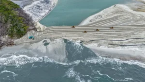
The first culprit is the North West Shipping Channel. For years, this deep-water channel off Bribie has been continually dredged to accommodate larger vessels, and its original position has been significantly altered.
From there, the timeline of impact stretches back nearly a century:
- 1890s: Rows of rocks were placed in Pumicestone Passage for oyster cultivation, creating new obstacles within the waterway.
- 1934: Local fishermen, seeking better access, created a new entrance to the Caloundra Bar.
- 1940s: Two protective sand dunes at Kings Beach were removed, stripping the coastline of a natural buffer.
- 1960s: The construction of a groyne at Kings Beach further interfered with the natural flow of sand along the shore.
- 1989: Perhaps most significantly, the original Lamerough Creek—once a narrow, shallow waterway that slowly meandered into the Passage—was transformed into Lamerough Canal, a wide, deep, and fast-flowing channel that now funnels water directly into Pumicestone Passage.
At the time, the consequences of these individual decisions were unknown, or perhaps unforeseen. We are only now seeing the full picture as the cumulative weight of these changes plays out before our eyes. The 2022 breakthrough wasn’t a singular event, but the culmination of a story that began generations ago, a story John Groves has now brought to light.
For those wanting to delve deeper into this local history, John Groves has compiled his research and photographs into two must-read books. They offer a fascinating, visual journey through the changes to our coastline, blending historical images with the firsthand stories of locals who have witnessed it all.
The books are available for purchase at the Book Shop at Caloundra and Moffat Beach Post Office. For direct inquiries, John Groves can be contacted at 0434 680 312.
IMAGES: BLUEY’S PHOTOGRAPHY